Recently, I asked the crew at Variant Ventures if they would like to start a new TTRPG adventure in a homebrewed setting. They excitedly agreed, which means I now need to create a setting, and would like to fashion a map so I can visually show my party where they go on their travels. If this sounds familiar, then this is the post for you!
I diligently began work on my setting and map this past week, and I’ve decided the players will find themselves in an exotic locale for their first session. They will find that there will be plot hooks related to their character backstories strewn about the surrounding area. In order to begin building this locale, I booted up my preferred digital map making tool.

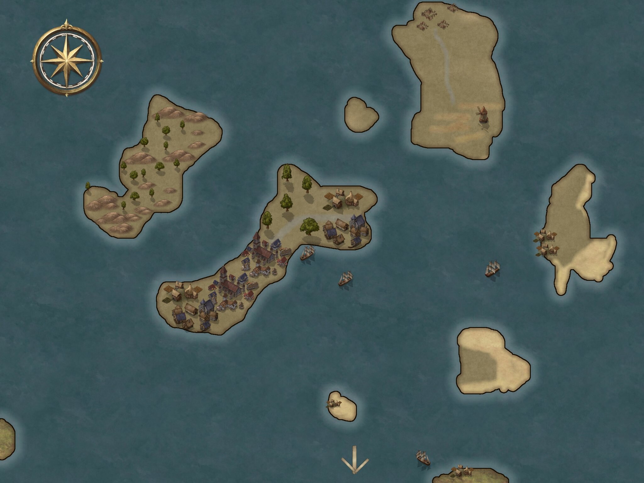
Firstly, I decided that the rough geography of the area they will start in will be an archipelago. I sketched out several outlines before deciding which configuration I liked most. I then placed the islands in the larger map of the homebrewed world, and determined the culture of the people who inhabit them.
I was inspired by the Aegean and Anatolian islands, feeling a Mediterranean influence would be fun to explore. I then worked out who will be in charge of the region. These particular islands fall under the jurisdiction of a Merchant’s Guild, but are at a cross section of several competing factions. If I am a GM worth my salt, this should lead to some interesting political tension for the players.
Starting a new campaign from scratch is equal parts daunting and exhilarating, even more so when you are implementing your own homebrewed ideas. If you are looking for a place to start, tune in over the next several weeks as I walk through how I plan to tackle this challenge.
What mapping techniques and tools do you like to use?
